|
Walks in Yorkshire |


|
|
Walks in Yorkshire |
The above video takes you around the from Horton in Ribblesdale walk in full and includes places to eat and drink at the end of the video.
Embark on a circular journey from Horton in Ribblesdale, traversing Pen-y-ghent, one of the renowned 'Yorkshire Three Peaks'. The trail takes you to Brackenbottom, then steadily ascends over Brackenbottom Scar, merging with the iconic Pennine Way path.<br><br>This path leads you to the majestic summit of Pen-y-ghent, offering a breath-taking view. The descent takes you back via a short detour of Hull Pot. The return to Horton is a scenic route along the enclosed walled Horton Scar lane, providing panoramic views of the entire area.
|
Best gifts for walkers - 49 top presents for hikers under £40 If you are wondering what to buy someone who likes walking, or searching for those inexpensive or personalised gifts for hikers, then look no further. We've put together a selection of practical presents under £40 that any walker or hiker in the UK would like to receive. Read our article: Best gifts for walkers - 49 top presents for hikers under £40 |
|
What to wear and take on your walk If you are new to walking and want to know what to wear and take on your walk, or want to know what to consider when buying your walking clothes and equipment, then these articles are for you. We'll also take you through our favourite walking boots, walking jackets, walking trousers, rucksacks, backpacks, water bottles, mapping and safety equipment etc. of 2026. Read our articles: What to wear on a walk and What to take on a walk |
| Start: | Pay and display car park in Horton in Ribblesdale (grid reference SD 807 725). |
| Parking: | As above. Some paid parking at Golden Lion Hotel. A small amount of roadside parking is available, but please park responsibly as Horton does get busy, especially at weekends and bank holidays. |
| Directions: | Google Maps: get directions here / What3words: harmless.outgrown.fake |
| Walk distance: | 6.3 miles (10.1 Km) |
| Estimated walk time: | 3 hours 5 minutes |
| Height climbed: | 470 metres |
| Grade: | 2-C: A medium length walk that has rugged terrain and some steep climbs |
| Peaks / summits: | Pen-y-ghent (694m) |
| Map: | Ordnance Survey - Explorer OL2 (Yorkshire Dales - Southern & Western Area) Buy this map from Ordnance Survey |
| Walk features: | Birds, Cafe, Church, Flowers, Geographic feature, Hills or Fells, Pub, Toilets, Views, Wildlife |
| Facilities / refreshments: | Toilets in car park at Horton, 2 Pubs and café in Horton in Ribblesdale |
| Nearest town: | Walk starts in Horton in Ribblesdale, nearest larger towns Settle or Ingleton |
| Local self-catering accommodation: | View self-catering accommodation close to the start of this walk |
| Walk Tags: | Horton in Ribblesdale, Yorkshire Dales, Pen-y-ghent, Pen-y-ghent, Information centre, Yorkshire Three Peaks, Three Peaks, Yorkshire Dales National Park, Limestone, Pen-y-ghent Cafe, Golden Lion Hotel, St Oswald's church, Brackenbottom Farm, Pennine Way, Pinnacle, Hunt Pot, Hull Pot, Plover Hill, Horton Scar Lane, Crown Hotel, Ribble Way |
Turn right out of the pay and display car park and follow the road past the (now closed) Pen-y-ghent Café.
Pen-y-ghent from the car park
The road bends to the left around St Oswald's church, opposite the Golden Lion Hotel. Immediately around the bend, there are two side roads on the left.
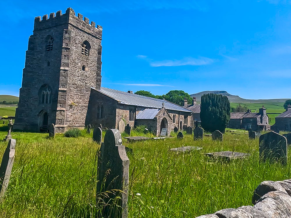
Pen-y-ghent from St Oswald's church
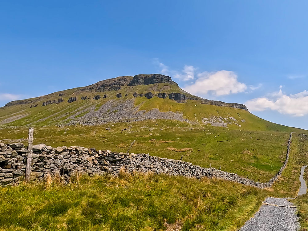
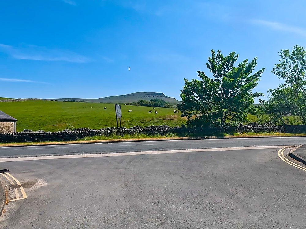
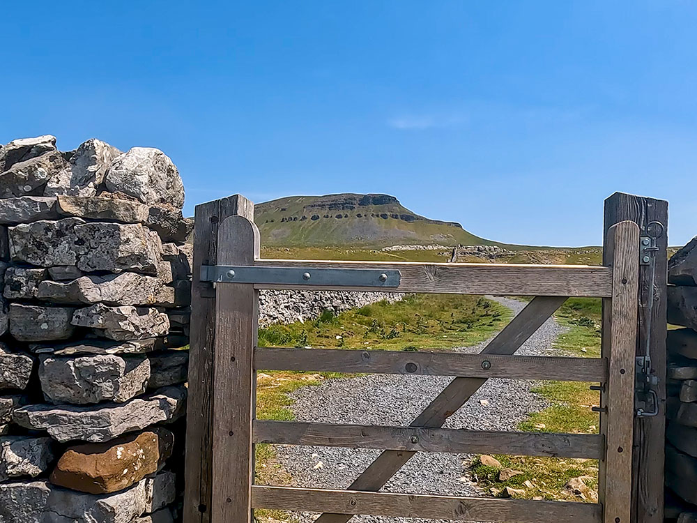
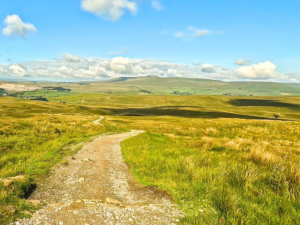
Turn down the second road just over the bridge. From this junction, you get the first real view of what lies ahead. Pen-y-ghent lies imposingly straight ahead. Head along the lane, with a stream on your left, carrying on up the lane past the old primary school. The lane slowly gains height and bends round to the right as it approaches Brackenbottom Farm. Immediately before the farm buildings, turn left at the wooden signpost for Pen-y-ghent Summit through a wooden gate.
Thirty yards further on, pass through another gate in a wall and immediately turn left, following the steps up the side of the wall. Remember, though, that the early months of the year are lambing times, and dogs must be kept under very close control, preferably on a lead. Sheep and lambs are very evident in the fields in the early parts of the climb.
While progressing up the first field, even though Pen-y-ghent may disappear from view, the height gained affords a splendid panoramic view behind Horton, Ingleborough, and Whernside.
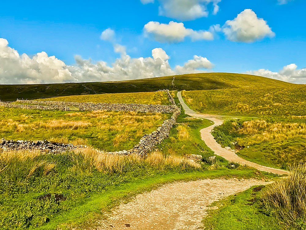
Continue on up the hill, closely following the wall until you meet a second wall that intersects the first at right angles. Pass through the gate built into the wall and continue onwards in the same direction, following the undulating path, which is slowly gaining height.
Gate on the path to Pen-y-ghent up from Brackenbottom
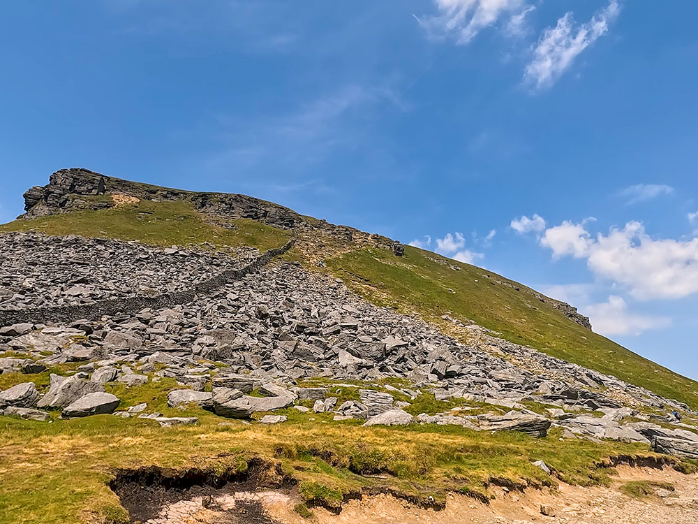
Continue on through the next gate built into another intersecting wall and again carry on in the same direction, heading for the right-hand corner of Pen-y-ghent. From here, the whole of Pen-y-ghent comes into view.
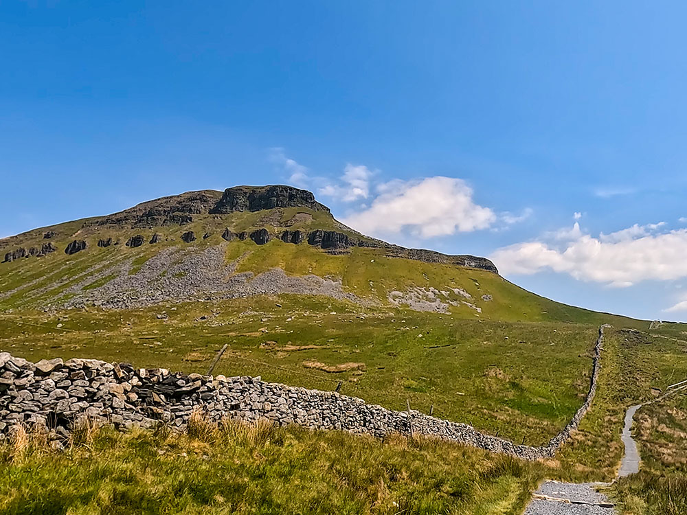
Path by the wall heading up towards Pen-y-ghent from Brackenbottom
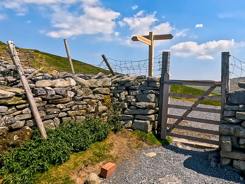
Head on through a further gate, where the path bends a little to the left before returning to its original line again, following the wall. Shortly after the next double stile is passed, a man-made flight of stairs is climbed to reach the gate where the Pennine Way is joined.
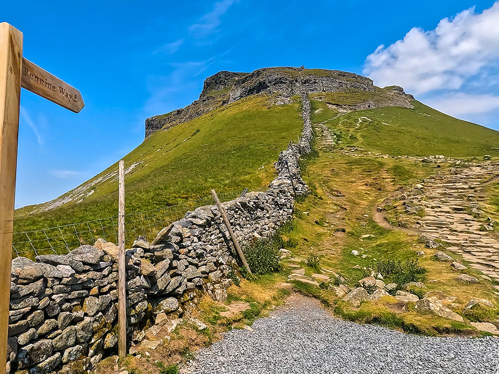
Turn left through the gate to start heading along the Pennine Way to Pen-y-ghent summit
Turning left through this gate, the climb now really starts in earnest. The path initially heads up some man-made steps. Whilst the path onwards from those may not be clearly visible from this stile, by progressing further up, the path unfolds.
First set of steep steps up to Pen-y-ghent summit
The path now rises very steeply and becomes less distinct, with the most distinct one skirting the grassy edge and coming back round a little to the left to pass in front of a large, almost vertical crag.
Keeping straight ahead (a little scrambling may be necessary), the path briefly flattens before another second very steep, mainly stepped climb marked by cairns.
Second steep set of steps up tp Pen-y-ghent summit
Towards the top of this, a little scrambling may again be necessary before the path gradient flattens dramatically, returns to being very well-defined, and soon becomes flagged underfoot. The path runs almost parallel twenty yards to the right of a wall and slowly rises along the flags until the trig point is reached.
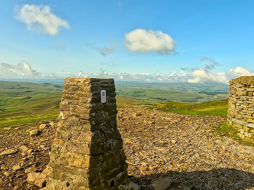
Trig point on Pen-y-ghent summit
Pen-y-ghent at 694 metres, is the lowest of what is known as the Yorkshire Three Peaks. The Yorkshire Three Peaks is a walk, just over 24 miles in length, with just over 1,600 meters of climbing, in the Yorkshire Dales, passing over the summits of Pen-y-ghent, Whernside (the highest at 736 metres) and Ingleborough (724 metres). Most people doing the walk, start and end it in Horton in Ribblesdale.
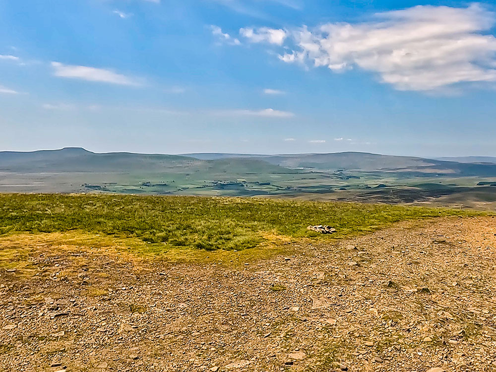
View towards Ingleborough, Whernside and the Ribblehead viaduct from Pen-y-ghent summit
Over the wooden stile a few metres from the trig point, a sign points in the three main directions down from the top. For Horton in Ribblesdale, we walk directly away from the wall following the Pennine Way 'Yorkshire 3 Peaks' path.
The path initially descends some man-made steps, after which it heads around to the right to follow the edge of a steep cliff.
Initial steps down from Pen-y-ghent summit, with the onward path stretching out in front of us
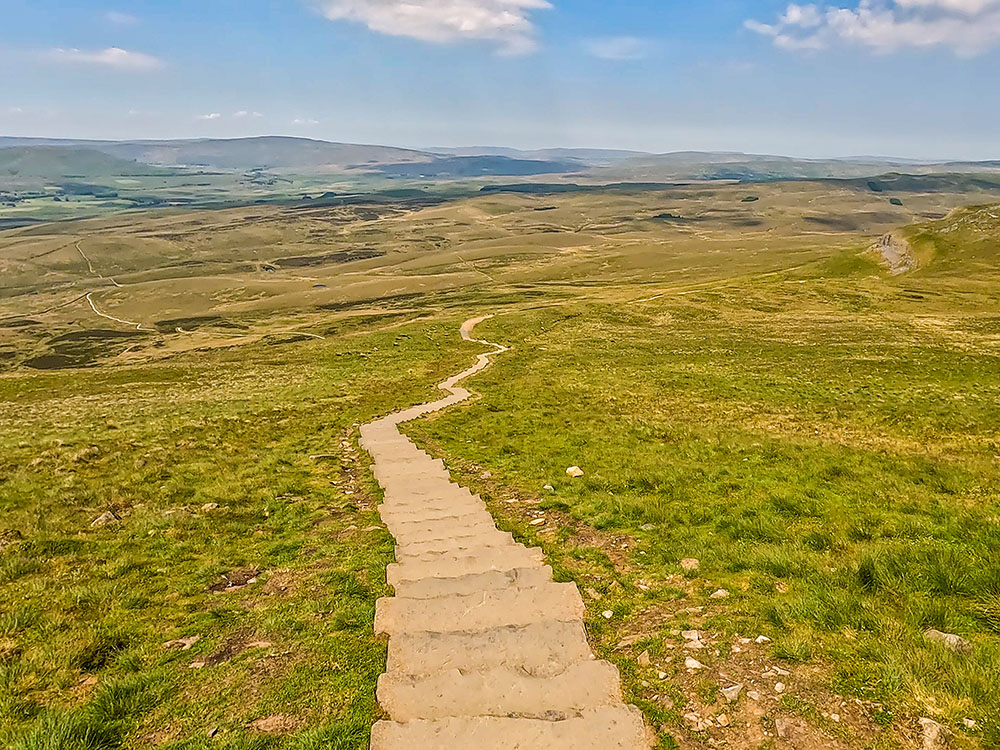
Down to the left, the path home can be clearly seen, with Hunt and Hull Pots also visible. The path continues downwards, following the edge of the cliff until the sign is reached, where it takes a sharp left. Follow the sign for the Pennine Way, Horton in Ribblesdale and Yorkshire Three Peaks as the path heads downhill for about one kilometre.
The path down off Pen-y-ghent, with Ingleborough on the horizon ahead
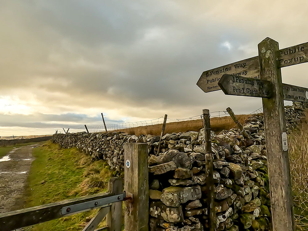
Pass through the next gate and walk straight on down to and through the next gate to arrive at a path junction with a 4-way sign.
Heading down to the junction with Horton Scar Lane - Hull Pot is to the right, Horton in Ribblesdale to the left
To the left here is Horton Scar Lane, which we will walk down to shortly; straight on is the Yorkshire 3 Peaks footpath over Whitber Hill, and to the right is a sign for Foxup.
Before entering Horton Scar Lane, a very impressive detour can be undertaken by walking for about five hundred metres in the opposite direction, following the Foxup sign to head towards Hull Pot. If it is misty, it is advisable to stick closely to the wall on the right as Hull Pot is a huge, steep-sided crater nearly one hundred metres long and fifteen metres deep, but is unfenced. The crater is a very impressive sight after heavy rain when waterfalls are formed over its side.
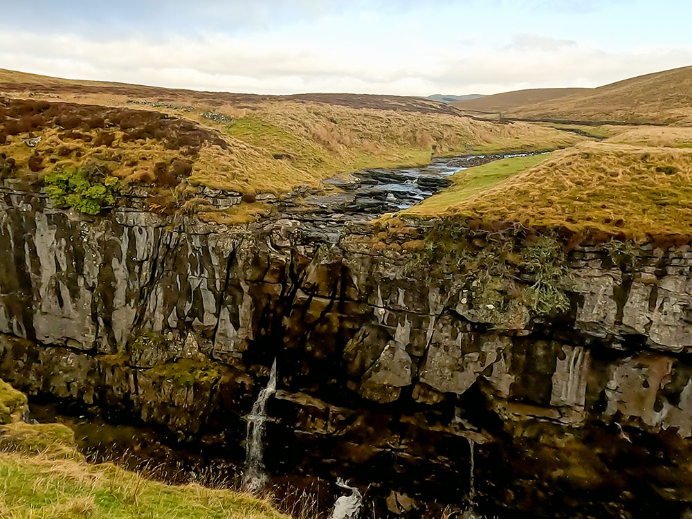
The stream heading into Hull Pot
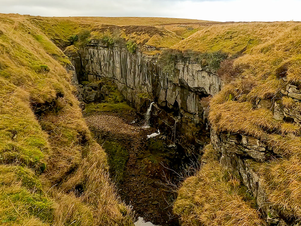
Hull Pot
Having visited Hull Pot, return to the lane entrance and go through the gate in the direction of the signpost 'Pennine Way Bridle Way Horton in Ribblesdale 1½ m'.
Entering Horton Scar Lane
Proceed down the walled lane and straight on through a gate. Keep on down the walled lane and pass through a second gate.
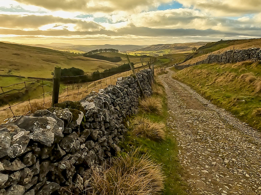
Heading back down Horton Scar Lane
When the path nears Horton in Ribblesdale, the path splits. Take the right-hand fork and immediately pass through another gate.
Head on and upon meeting the main road, turn right to head back along to the car park.
For where to eat and drink after the walk, check out the end of the video or visit a more detailed description of the Pen-y-ghent from Horton in Ribblesdale walk.
| Want to know roughly how many steps this walk involves, or how many calories you may burn along the way? Try our Walks4All Advanced Walking Calculator for a personalised estimate based on the walk’s distance and elevation, together with your own biometrics. |
Click here for Disclaimer